Navigation & Positioning
QYSEA
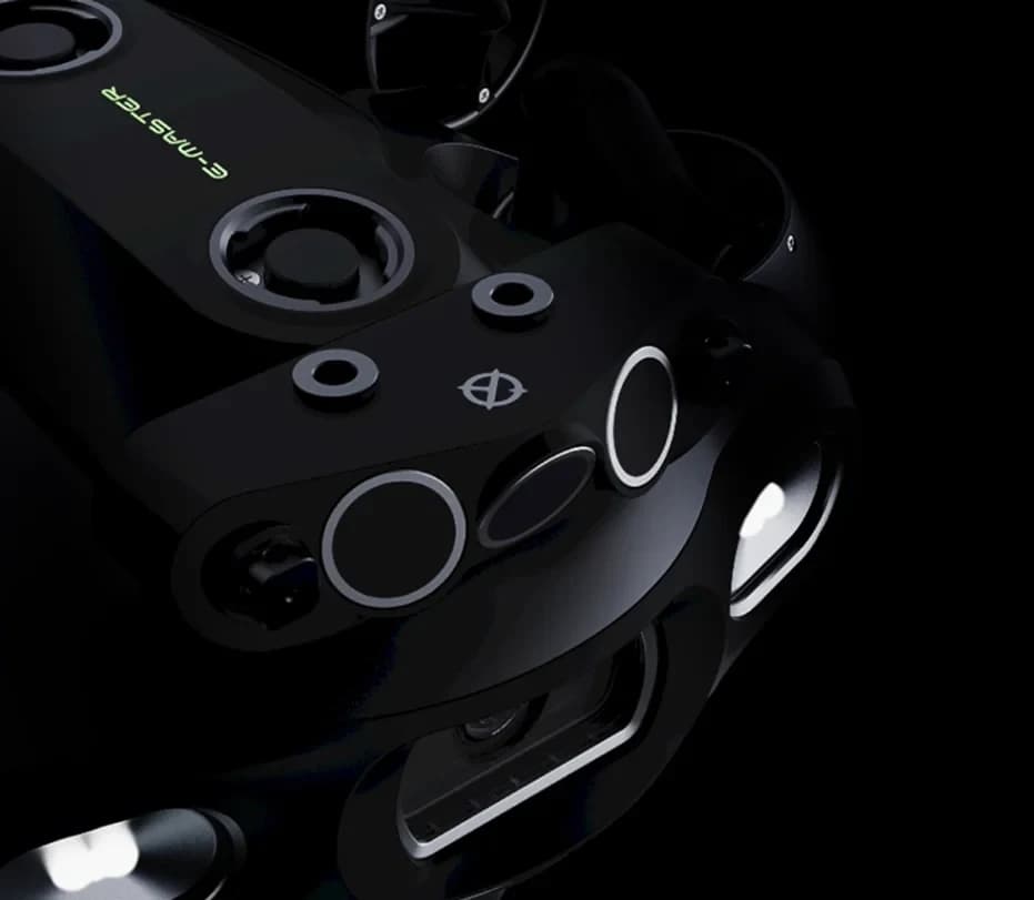
Q-DVL sonar array
Doppler sonar modules for FIFISH station holding, navigation and collision avoidance.
Explore productSoftware & Control
FIFISH terrain-data processing for 2D and 3D bathymetric maps.
QY-BT combines Q-DVL and supported navigation hardware with planned ROV survey paths. Recorded spatial and depth data produce terrain maps, contour displays and waterbody calculations. The delivered survey package must include the appropriate sonar and navigation modules.
Product · Reference SW-QY-BT
Request a quote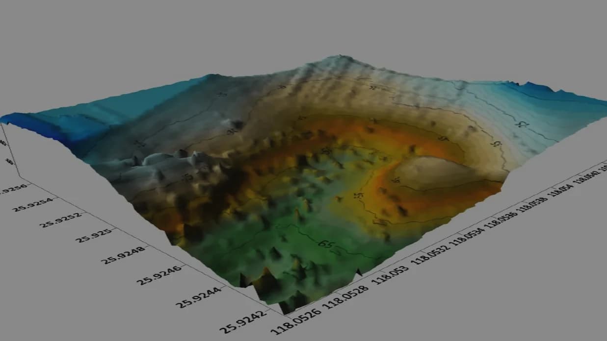
FAQ confirms W6, E-GO and E-MASTER with Q-DVL. W6 NAVI and X1 pages also document the workflow; X1 specifies an optional echosounder.
Product advice
Tell us about your application, operating conditions and preferred configuration.
These links open your email app. Send the email to submit your enquiry; demonstration dates and configuration are confirmed by ROVITEC.
roy@rovitec.noDoppler sonar modules for FIFISH station holding, navigation and collision avoidance.
Explore product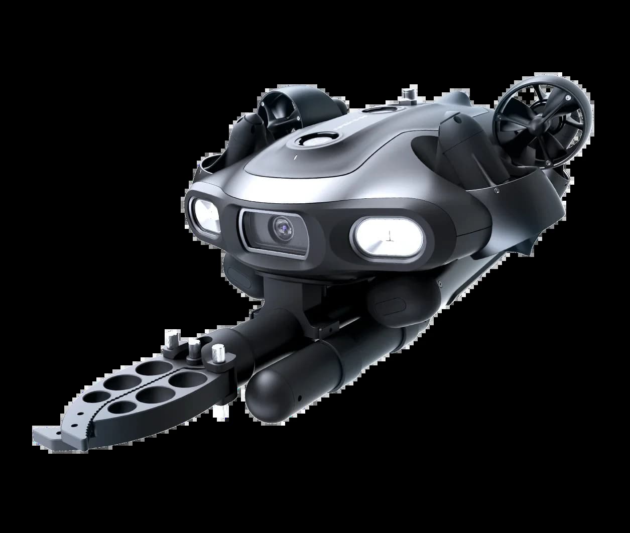
Modular industrial ROV with dual swappable batteries, 4K imaging and a 5 kg payload rating.
Explore product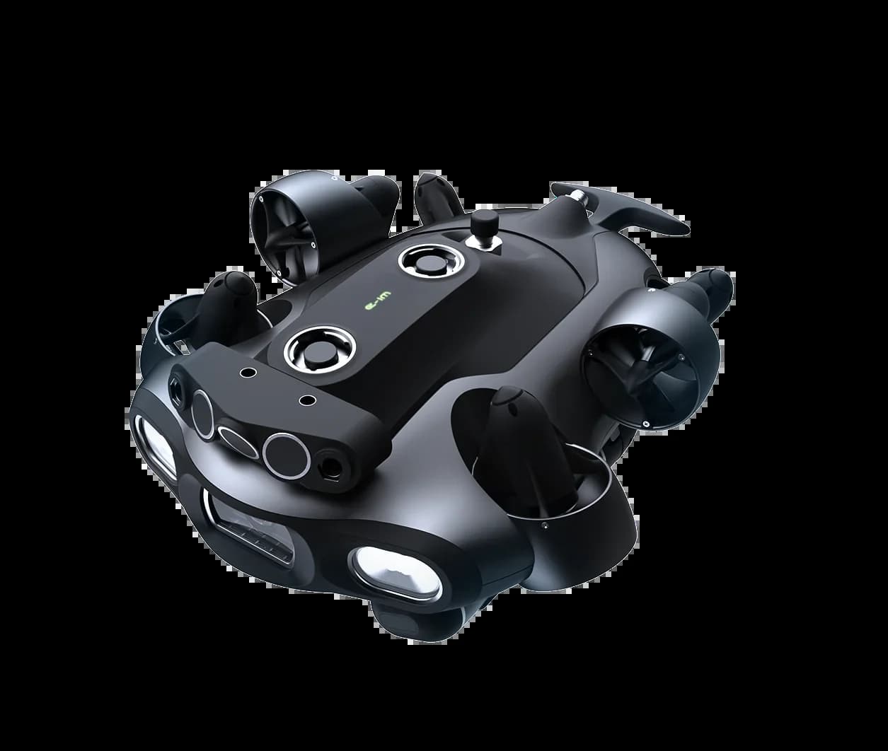
200 m industrial measurement and survey platform in PLUS and NAVI configurations.
Explore product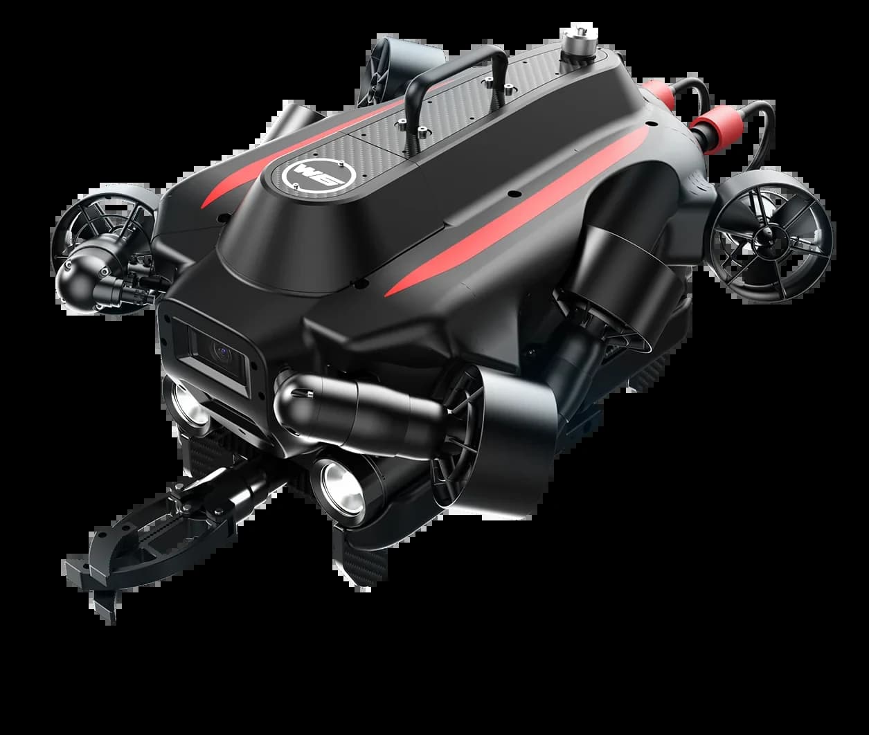
350 m maritime ROV with inertial navigation, downward Q-DVL and dual 4K cameras.
Explore product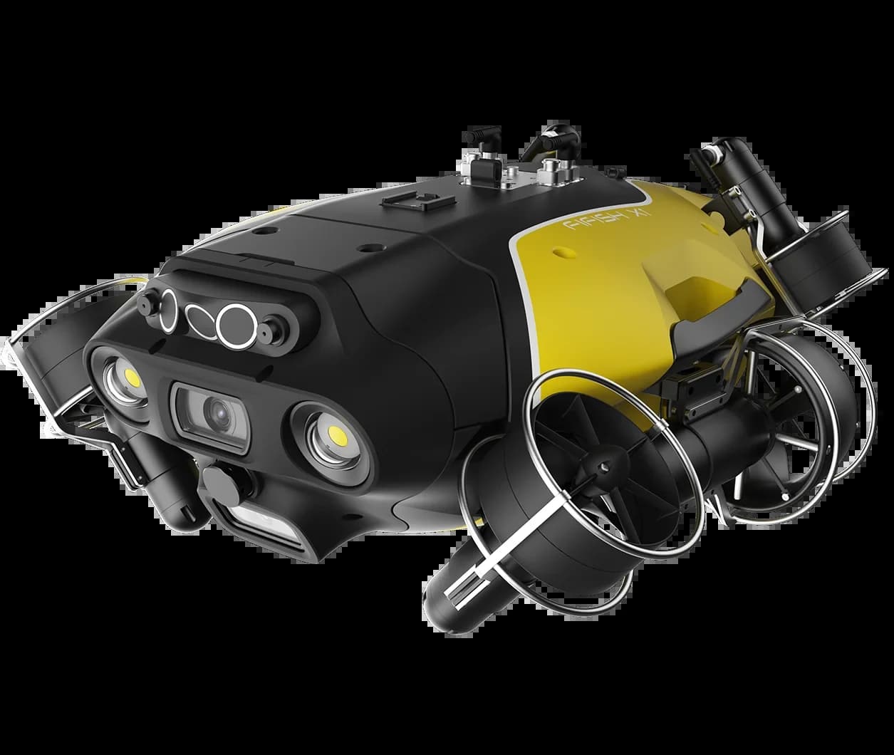
350 m mission ROV with dual Q-DVL, a 15 kg payload and direct surface power.
Explore product